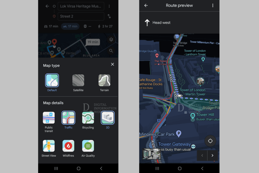
Google Maps will receive a large-scale 3D update. In the future, users will be able to fill maps with 3D buildings while using navigation. The ability to visually see buildings in 3D can help drivers better navigate the environment.
This was reported by an insider @AssembleDebug in his X.
The new feature has been in testing for some time now. In the beta version 125 of Google Maps, it became available to everyone.
3D building models have a simplified design to ensure better performance and image clarity. This level of detail will be maintained so that users can easily navigate the city. The visible height of buildings and their general shape will help users recognize them and plan their route better.